I've climbed Snowdon, Summits on the Air reference GW/NW-001, several times over the years, but a glance through my SOTA log showed that either I've never activated it on air, or that I've lost the log! Either way, it felt like an omission.
Armed with a rare weekend free of other events and with promising weather, I set out from Cambridge at 0630 Saturday morning, arriving in Snowdonia around 1100. The car park at Pen-y-pass was full, and Nant Peris looked similarly busy, so I headed on to Llanberis. Given the choice, I'd probably have gone for the Pyg Track or Miners' Track, but I was conscious of time, so headed up the Llanberis path.
As usual, I felt a little silly carrying a fleece, waterproof jacket and gloves as I set off in blue skies and bright sunshine, but also as usual, I was very grateful for them all at the top!
Cloudbase was around 750m, so views from the summit were notable by their absence:
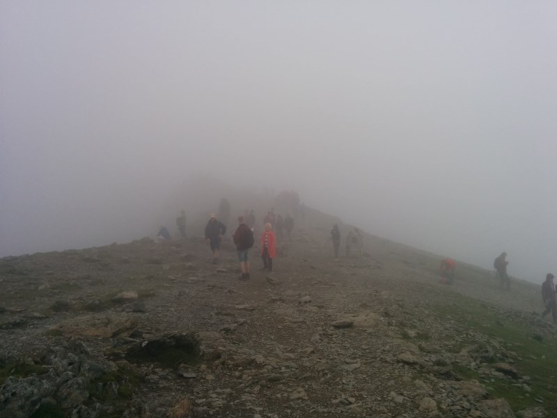
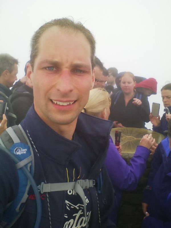
The summit was incredibly busy, so there was no way an HF activation was going to be possible. Thankfully, 2m FM using hand-held and 3-ele yagi was perfectly productive, netting 12 contacts including a couple of summit-to-summits.
Total time came in at a little under five hours: two up, one at the top, and a little under two back down, including a coffee at the half-way house.
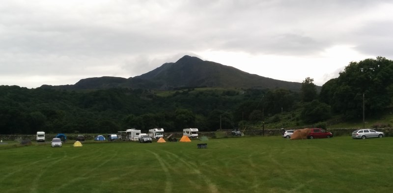
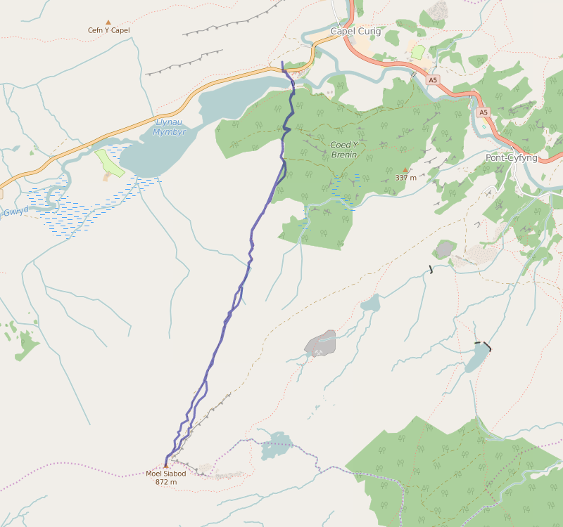
Camping overnight at the Dolgam campsite just outside Capel Curig gave me a good view of Sunday's target, Moel Siabod, GW/NW-010:
Sunday's weather wasn't as good as Saturday's, and the forecast suggested the best would be in the morning, so another early start got me packed up and on the road by 0800.
I followed Tom M1EYP's route, and agree with his comments: it's not a hard climb, but it is unrelentingly "up"!
Almost the entire ascent was in the clouds, but the track is relatively obvious for the majority of the trip. I was grateful for the map, compass, and GPS as backup, though, particularly for the last 500m on the way up, and later in re-tracing my steps coming back down.
With the rather wet and miserable weather at the top, I again chose to start on 2m, and again it proved productive enough to easily qualify the summit despite it being relatively early in the morning. There was plenty of room for HF antennas, and zero other folks there, but it seemed wiser to start the descent before the weather got worse.
In the event, the clouds lifted somewhat as I headed down, but the rain continued - until I reached the car, of course, at which point it stopped!
GPS track of the trip, excluding a little of the descent where I knocked the power off:
As always, thanks to everyone for the QSOs, and sorry to those I missed.
comments powered by Disqus